|
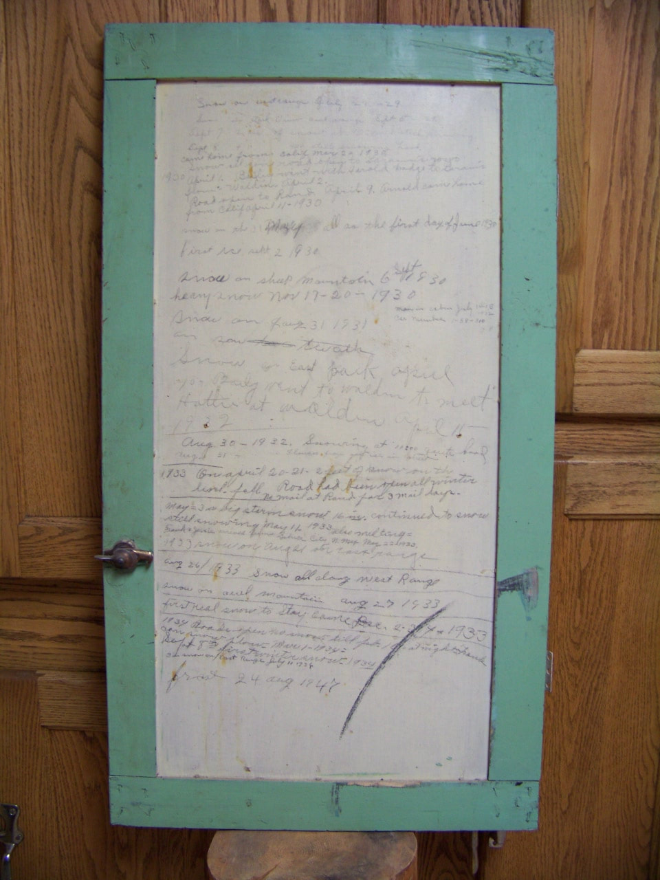
Dolly Leatherman owned the Rand Store with her husband, Bailey from 1919 until 1964. During that time she must have witnessed so many interesting events, hardships and joys. Below is a journal she started 90 years ago on July 29, 1929. The writings were on the inside of a cupboard door found during one of the many remodel jobs here at the Store. Like many of us she probably had good intentions to keep regular postings but as you can see "life" must have gotten in the way. The entries speak of weather reports, snow totals and sometimes she mentions travel by family. We hope you enjoy a look into the past. If nothing else, you'll see the extreme weather in North Park has not changed.
7/29/1929 Snow on the east range 9/5/1929 Snow on Parkview and east range 9/7/1929 2 inches of snow at 9:00 still snowing 9/8/1929 4 inches of snow at 9:00 and still snowing 3/2/1930 Came home from California Snow all gone – road open to Laramie Wyo 4/1/1930 Bailey went with Harold Dodge to Laramie from Walden April 1st and 2nd 4/9/1930 Road open to Rand 4/11/1930 Arnold came home from California 5/31/1930 Snow 6/1/1930 More Snow 9/2/1930 First ice 9/6/1930 Snow on Sheep Mountain 11/17/1930 Heavy Snow 7/31/1931 Snow 4/11/1932 Bailey went to Walden to meet Hattie 7/14-15/1932 Men stayed in cabin / car #1-58-310 8/30/1932 Snowing at 11:00 quite hard 8/31/1932 Flowers froze and 1” of snow 4/20-21/1933 2 feet of snow fell on the level. Road had been open all winter. No mail at Rand for 3 mail days. 5/3/1933 A big snowstorm 16” continued to snow. Continued to snow until 5/11/1933 5/22/1933 Frank and Jesse arrived from Silver City NM. 8/21/1933 Snow on east range 8/26/1933 Snow on all of the west range 8/27/1933 Snow on Owl Mountain 12/2-4/1933 First real snow to stay came 3/1/1934 Frank can plow snow 9/10/1934 Roads open – no snow 9/8/1934 First winter snow 7/11/1936 3” snow and snow on the east range 7/10/1939 3:00 pm – temperature 108 8/24/1947 Frost 08/25/1948 Snow in Rand
0 Comments
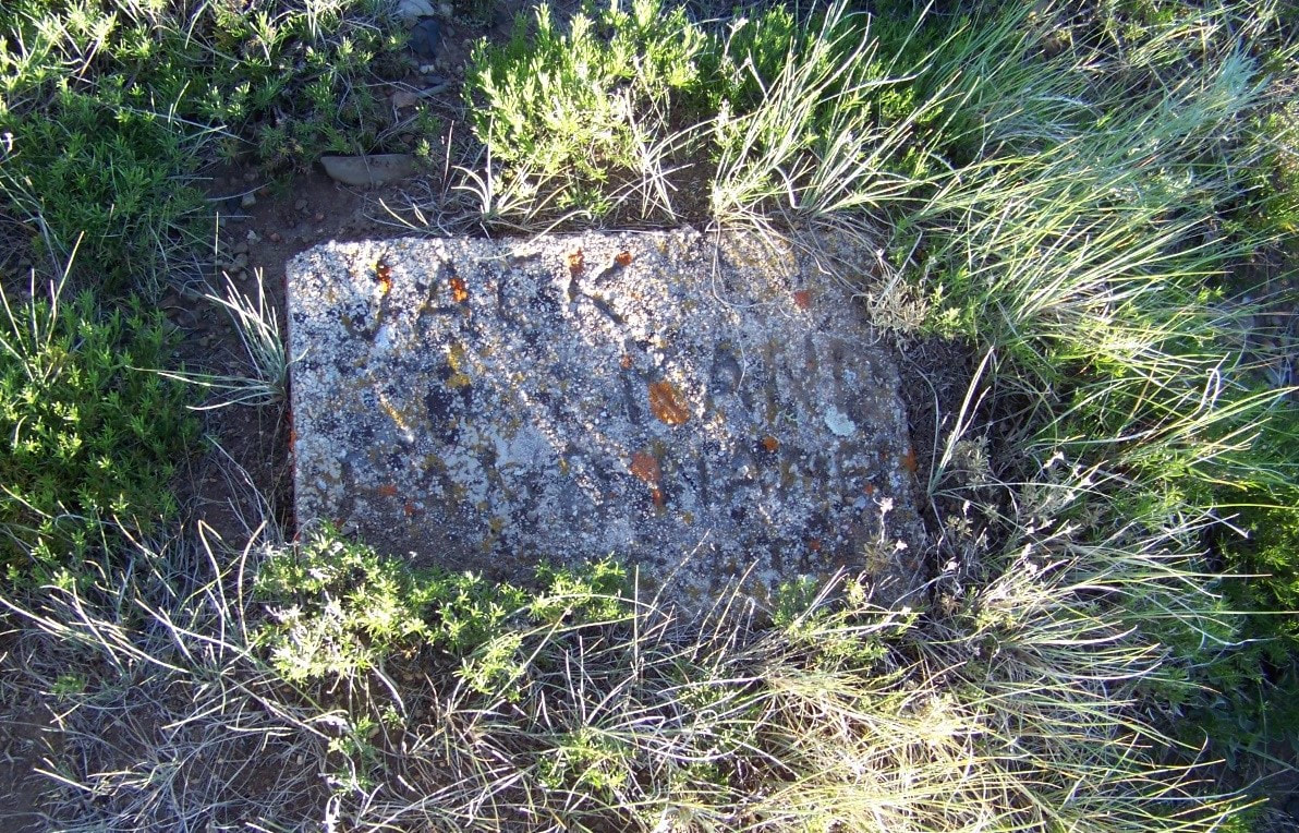
Rand Colorado was first known to the pioneers of North Park as Weed. Later it was renamed Rosebud, which is still the legal description on land records today as Rosebud Township. The story goes that Jack Rand agreed to be the 1st postmaster but wouldn’t do it for a town named Rosebud so the town was renamed Rand. According to U.S. Postal records; George M. Rand was appointed postmaster from 1883 until 1886. Not much else is known about Jack Rand. We found him on the 1880 Grand County Census as G. M. Rand, approximately 57 years old, no other family and occupation listed as a miner. How many job applicants can say they got a town renamed for them just for taking the job!
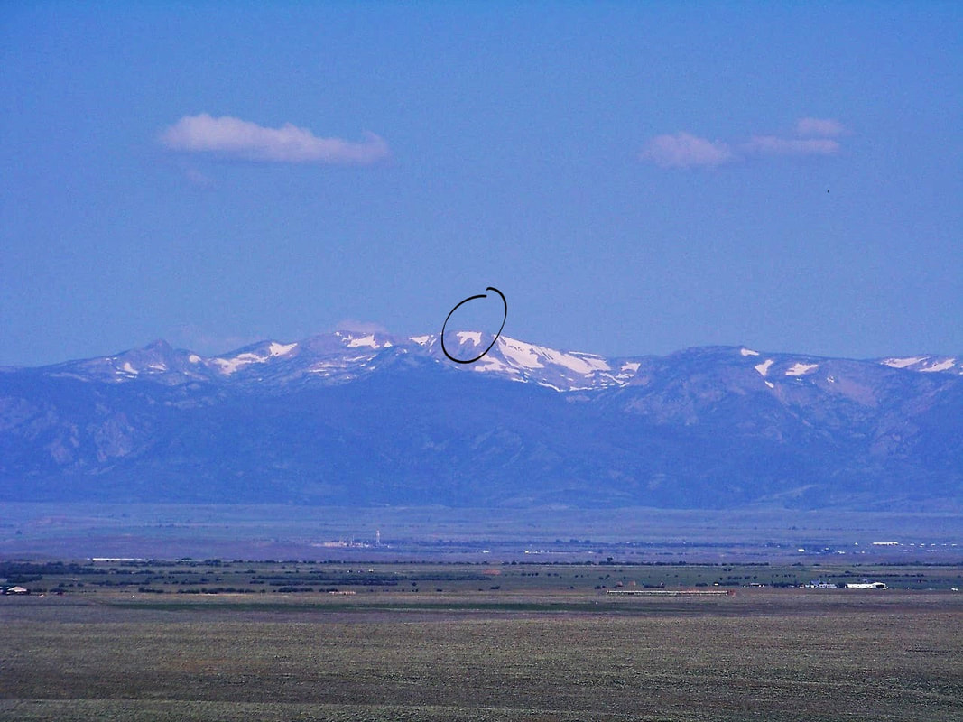
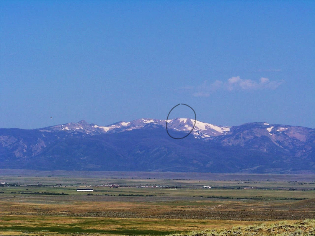
We are collecting funds to give Jack a granite memorial marker on his grave at the Rand Cemetery. If you would like to help, please make a contribution at https://www.gofundme.com/memorial-stone-for-jack-rand&rcid=r01-153409510392-df27111e96da4040&pc=em_co_campmgmt_w Did you know North Park has a Polar Bear? The legend told by the old timers was - if you could see the polar bear snow field on Mount Ethel in July - then there would be plenty of snow melt to irrigate the hay fields of the Park.
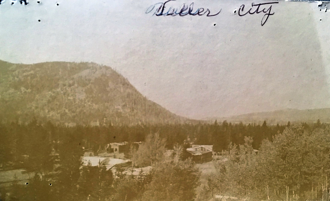
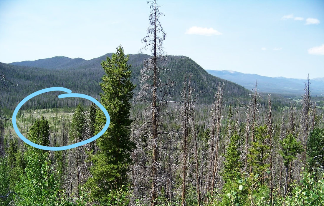
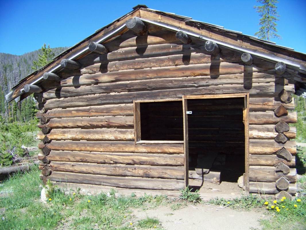
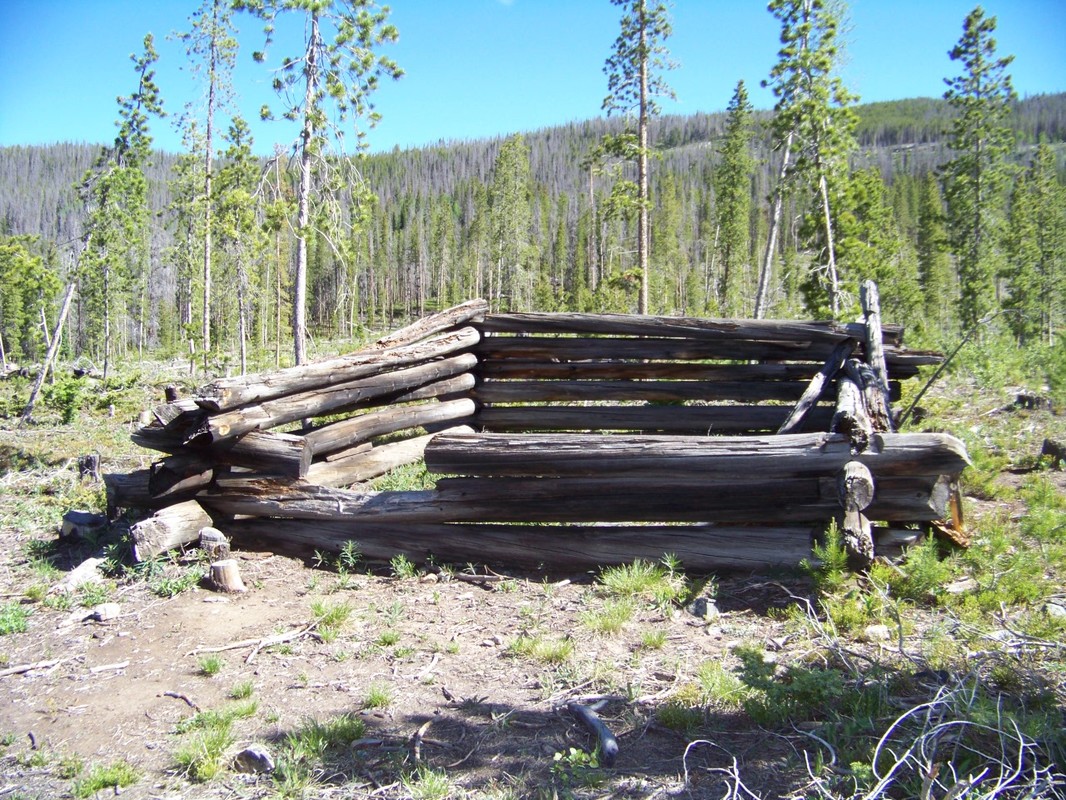
To find the polar bear: travel north from Rand on Colorado Highway 125 towards Walden - look to the northwest and find Mount Ethel on the southern end of the Mount Zirkel Wilderness Range. If enough snow has melted - you should see the outline of a huge polar bear. We left Rand on Monday for a day trip to Teller City, over Calamity Pass (high clearance vehicle recommended), into Gould, on to Walden for lunch then back to Rand. The trip was about 65 miles round trip and took about 4 hours with stops for photos and lunch. The goal was to retake the photo of Teller that's on display at the North Park Museum. Even though the old town is all but gone, there is a one room cabin that has been kept in tact, a few building foundations, walking path and informational signs to give the visitor a sense of what the old town was like.
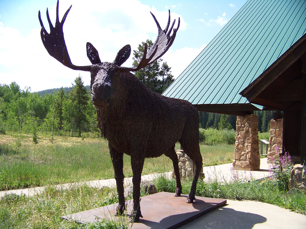
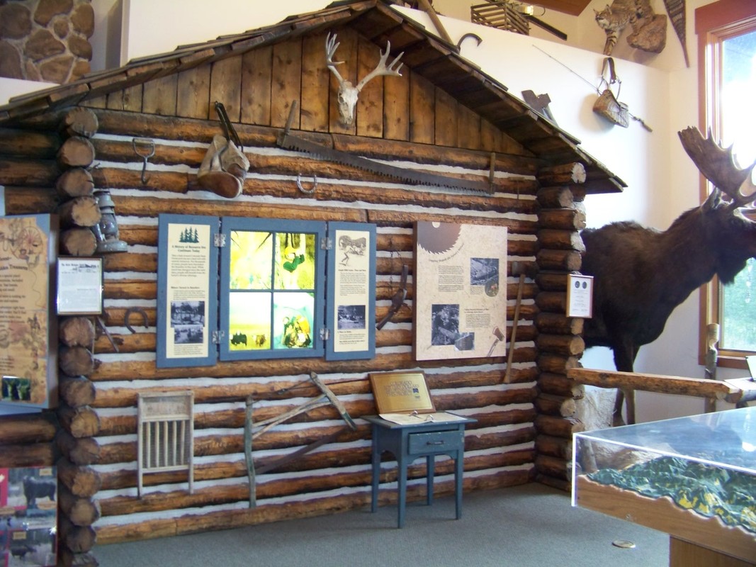
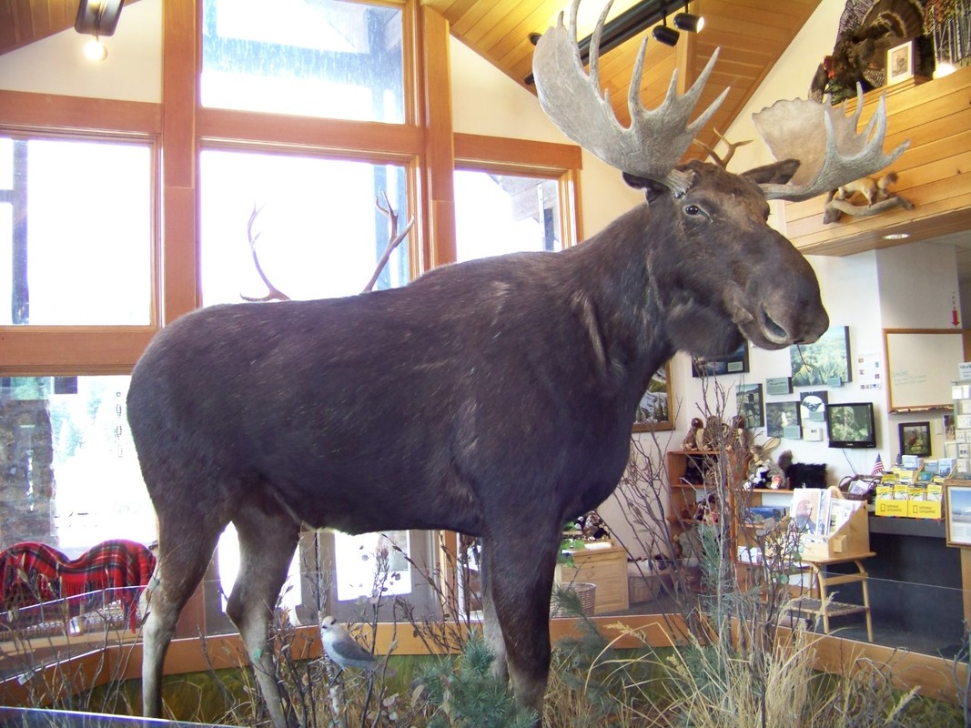
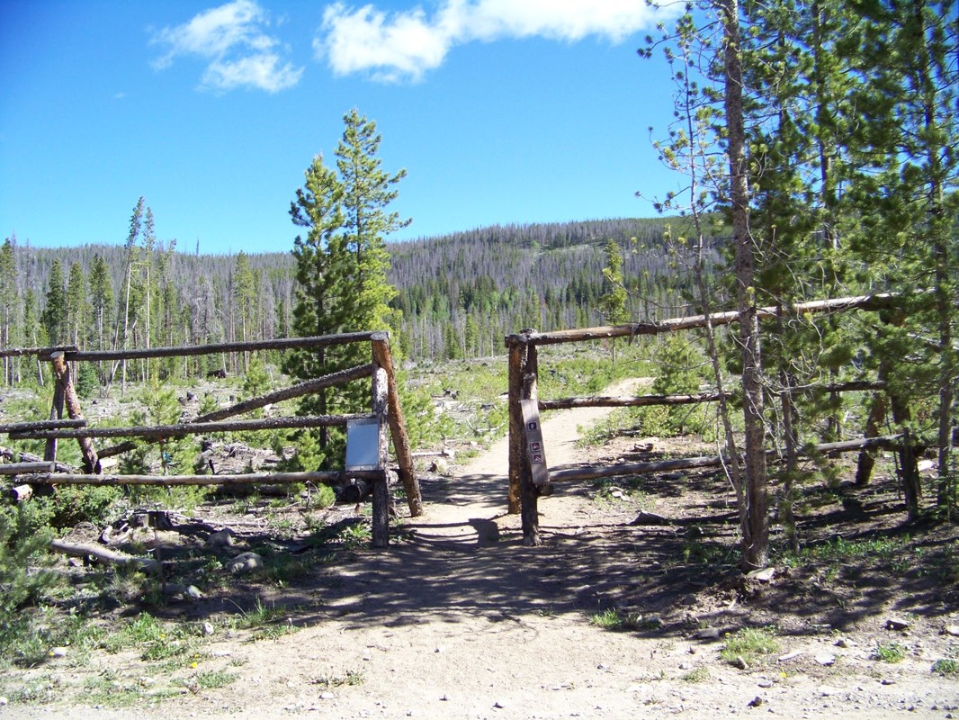
To get there: drive 2 miles south of Rand on highway 125, turn left onto county road 21 (near The Old Homestead Lodge) continue on for approximately 9 miles. The county road turns into forest service road 740. At the forest boundary there will be signs to guide you. Enjoy your visit! I’ve looked at Parkview Mountain from the window of my childhood home for years. I can’t count how many times I’ve looked at the highest peak and wondered what it would be like to be up there looking back. I decided this was the year to make it happen. My mother, step father, sister and all our children have made the trek. Not just once but multiple times, so it was my turn. My nephew Turner, graciously agreed to guide me up and most importantly BACK down the mountain. We met at the trailhead, just south of the Willow Creek Pass summit, mile marker 21. We drove up to the old gold mine location which is almost to tree line and started hiking from there. I’ve been told driving that far is “cheating the mountain” but I figured at this point in my life, “the mountain” already had the advantage. For the most part, we followed the cairns for the Continental Divide Trail. It took about two and a half hours of hiking for me to make the summit, 12,296 feet. Turner could have made it in half the time, but he was patient and held back. Once on top the view was breathtaking! Even with the haze from distant forest fires, I could see in all directions. You can see Highway 125; Rand on the north side of the mountain and then the winding pass as it heads south to Granby. I could pick out familiar ranches, home sites and lakes, it truly was a beautiful view. The lookout was in good condition considering it was built in 1916. I’ve been told it’s the only “bunker” style structure and second highest lookout elevation in the U.S. It had not been used since 1948. In August 1997, there was an attempt to rehabilitate the lookout and use it as a radio tower. My stepfather Don assisted the forest service during the rehab project and carried the antenna up to the lookout on his back. Unfortunately, the radio tower was unable to reach Steamboat so it was moved to Owl Mountain and the lookout was once again abandoned. Hikers leave their mark on the walls noting names, dates and comments. There was even a notation about watching the Great American Eclipse from the lookout last month. A recent party left a plastic bottle with pencil and paper so we left our “mark” there. We left the summit for the return trip down the trail which took about an hour. The next day, I heard a childhood friend had died while hiking a Colorado 14ner. Had I known, I probably would have canceled the hike. But I’m sure that’s the last thing my friend would have wanted me to do. Thank you, Jamie, for being an inspiration to all of us! Thank you, Turner, a twenty-something agreeing to take a fifty-something on a hike! Posted by: Chris Durant Jackson Here's a link to a site with photos and information: http://www.firelookout.org/cohost-co/parkview.html We made a quick trip to the Moose Visitor Center in Gould on Monday. It was GREAT! Upon arriving at the Visitor Center, you are greeted by a life-size moose sculpture made of barb-wire. Inside the center you'll find a list of the latest moose sightings, a full-size moose mount and other critters of the forest. Both young and old will enjoy the educational hands on displays. The staff are friendly and informative. Don't miss the upcoming Moose Festival August 12th, 10:00 am - 4:00 pm. Definitely worth the trip!
|
 RSS Feed